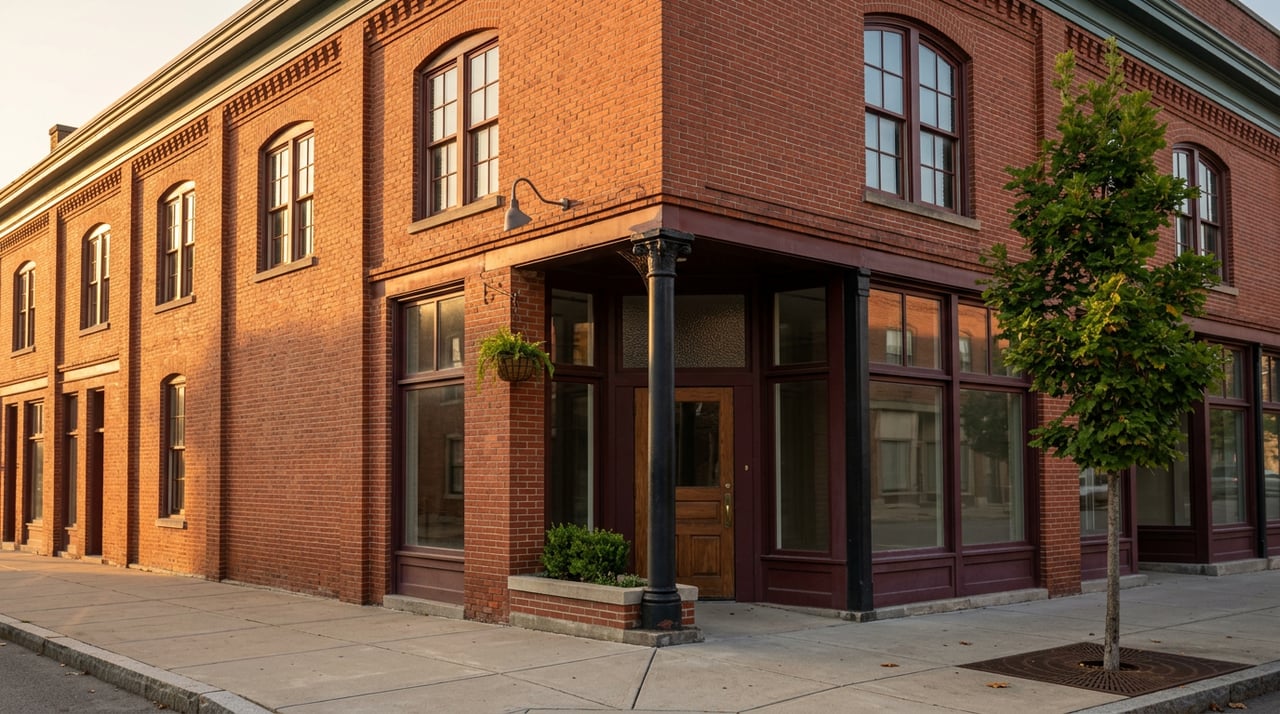
Park on Broad Street for a late breakfast at Bistro Off Broad and you're already standing closer to Fort Yargo State Park's front door than most people realize. Not close in the abstract, drive-there-later sense. Close as in: leave your car where it is, walk two blocks to Lee Street, and fifteen or twenty minutes later you're standing at the park's own visitor center, no highway exit required.
That's the part of Winder's map that changed and hasn't fully caught up with how people talk about the town. Downtown and Fort Yargo still get described as two separate things, one for a coffee run and one for a weekend at the lake. They stopped being separate the day the Wilkins Greenway Trail opened.
What the connector actually is
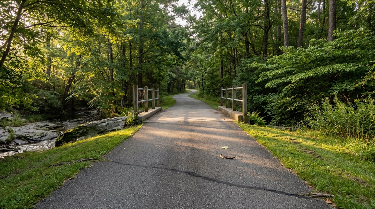
The Wilkins Greenway Trail is a 1.1-mile paved path that runs through a wooded stretch along a creek, linking Lee Street directly to the park's visitor center. It's flat, paved the whole way, and built for walking, biking, and dog-walking rather than technical riding. Georgia's state parks division dedicated it with a ceremony that also unveiled a new historical marker for Will-A-Way, the recreation area inside the park that opened in 1971 as the nation's first comprehensive outdoor facility built specifically for people with disabilities. Will-A-Way is still active today under Camp Twin Lakes, which is a detail worth knowing if you've only ever thought of Fort Yargo as the lake with the beach and the log fort.
The trailhead on the town side sits at a small lot on Lee Street. From there it's a straight, shaded walk to the park boundary. No turns to memorize, no fording a highway shoulder to get across town. That single fact is the whole story: the barrier between "downtown" and "the park" used to be a car trip, and now it's a fifteen-minute walk.
Two very different parks, same front door
Here's where it gets useful for anyone deciding how to spend a Saturday. Fort Yargo isn't one trail, it's a system, and the system splits into two personalities that share the same entrance.
| Route | Distance | Elevation gain | Character |
|---|---|---|---|
| Fort Yargo Lake Loop | 6.0 miles | 360 feet | Flat, lakeside, family and dog friendly |
| Fort Yargo Outer Mountain Bike Trail | 9.2 miles | 787 feet | Technical singletrack, built for serious riders |
The Lake Loop is the one with the widest following. It carries a 4.7-star rating across roughly 4,700 reviews on AllTrails, which tells you it's the default choice for a Saturday morning rather than a niche pick. The Outer Mountain Bike Trail is a different animal entirely, more than twice the elevation gain packed into a longer loop, and it's the reason serious mountain bikers drive in from outside Barrow County specifically to ride it.
The park itself covers 1,816 acres around a 260-acre lake, with a swimming beach, boat ramps, and more than 20 miles of combined trail. There's also the original 1792 log fort the park is named for, built by early settlers as protection during conflicts with Creek and Cherokee residents of the area, which still stands as one of the few surviving structures of its kind in Georgia.
The point isn't that Fort Yargo has a lot of trail mileage. Plenty of parks do. The point is that you can access both the easy lakeside version and the demanding backcountry version from the exact same parking spot on Lee Street, which means the decision about what kind of outdoor day you want gets made after you've already parked downtown, not before you've left the house.
The park now draws its own crowd
That trail system has started pulling in people who have never set foot in downtown Winder for any other reason. On April 4, 2026, Fort Yargo hosted its own ultramarathon, a 50K and 25K built around a 15.8-mile loop through the park's singletrack. It's billed by organizers as some of the best trail running terrain in the state, and the rolling hills around the lake are exactly the kind of course that pulls entrants who will never have heard of Bistro Off Broad or Le Gabrielle otherwise.
That's a small but real shift. A park known locally for its beach and its cabins is also, now, a destination on the regional trail-running calendar. Whether or not you run ultras, it says something about the terrain you have access to on the other end of a fifteen-minute walk from your parking spot on Broad Street.
What's waiting on the loop back
The part locals actually use this for is the return trip. Walk or ride the Greenway back into town after a couple hours at the lake and you're stepping directly onto a downtown that's built more of its identity around food and small retail than it gets credit for outside the county.
Bistro Off Broad, at 16 E. Candler Street, runs a chef-driven menu built around what local farms are producing, which makes it a reasonable answer to "somewhere to sit down" after a morning on the trail. A few doors over, Le Gabrielle Crepes & Waffles leans into a café-style room designed to feel like a street corner in Paris, chandelier lighting and all, which is a strange and specific thing to find two blocks from a state park trailhead and part of why it's worth mentioning by name rather than as a category. If you want something heartier, Cotton Calf Kitchen and Donatello's The Urban Trattoria both sit within the same downtown footprint.
Before or after the meal, the retail strip does its own version of this trick. Corkie's Accessories at 43 N. Broad Street and Sugar Baby & Love Bug Boutique are the kind of small, owner-run shops that don't show up on a national retail map but do show up in how people actually spend a Saturday afternoon downtown.
None of this required a car once you'd found parking near the trailhead. That's the actual change. A walk to the lake, a loop around it or a harder ride through the back trails, and a meal downtown used to be three separate errands. Now they're one continuous route.
Downtown is leaning into it, not by accident
The city isn't treating this as a fixed asset it can ignore. As of mid-August 2026, Winder's downtown development authority was actively working toward a part-time downtown director position, with board members specifically flagging grant writing for revitalization funding and closer coordination between private businesses and city government as priorities for whoever fills the role. One board member's framing, pushing the city to think about how to use "every square inch of downtown for business development," suggests the DDA sees downtown's current momentum as something to build on rather than something that happened on its own.
That matters for anyone who already lives here and has watched downtown Winder go through slower stretches. The Greenway Trail didn't create the current run of restaurants and shops by itself, but it gave downtown a second reason to exist beyond the courthouse square, a walk-up audience arriving from the park rather than driving in specifically to shop. The city's own next move, hiring someone to formalize and fund that momentum, is a sign it's reading the same trend.
The actual takeaway
If you live in Barrow County and still think of Fort Yargo and downtown Winder as two separate trips, that's worth revisiting. They're connected by a paved, shaded, mile-long path that takes less time to walk than it takes to find parking at some trailheads. Whether your Saturday calls for the easy loop around the lake or the technical nine miles on the outer trail, the same walk from Lee Street gets you there and the same walk brings you back to a downtown that's actively trying to give you a reason to stay once you arrive.
That's not a reason to move here. It's just what Saturday looks like now if you already do.
If you're weighing what a property near this kind of walkable connection between downtown and green space is actually worth, or you're curious how access to trails and recreation land factors into land and commercial value across Barrow County, Travis Ebbert is a straightforward person to talk to. Let's Connect.